


Cartography and GIS
 GIS (Geographic Information System) are computerized information systems designed to acquire, manage, analyze, and visualize georeferenced data, that is, information associated with precise geographic locations. They integrate thematic maps with databases to support decision-making processes, monitor phenomena, and analyze spatial relationships such as proximity and overlap.
GIS transforms static maps into interactive tools for understanding what is happening, where it is occurring, and why.
This GIS mapping, developed by Dr Letizia Chiti, represents a first attempt to provide a georeferenced validation of the data emerging from the various research strands. At present, in particular, records have been compiled for the following topics: Nursery schools (Achille Conti, Donato Verrastro), Colonies (Stefano Campagna), Excursions and pilgrimages from Parma (Carlo Alberto Gemignani), Sites hosting Viennese children (Piergiovanni Genovesi), Places of detention and care for “abnormal” children (Fabrizio Solieri), Orphanages (Achille Conti, Donato Verrastro), Children’s hospitals (Achille Conti, Donato Verrastro).
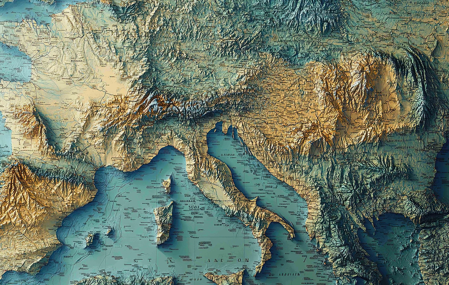
 ENTER THE CHILD GIS
TECHNICAL NOTES
To view the GIS map, simply open the link using any web browser.
Each symbol corresponds to an institution; to consult the legend, click on the icon on the right shaped like a small board.
By selecting or deselecting the individual items, it is also possible to display on the map only some, or just one, of the categories included (sites hosting Viennese children, orphanages, nursery schools, etc.). The category Colonies has been further subdivided into two subcategories (Pre‑1918 Colonies and Post‑1918 Colonies).
Clicking on the symbols displayed on the map opens an information sheet containing selected details about the institutions located at that site.
In many cases, symbols associated with different categories overlap in the same place. For example, in Bologna there are sites of detention and care for “abnormal” children, children’s hospitals, and both pre‑ and post‑1918 colonies. To view the information more clearly, it is advisable to zoom in using the mouse wheel or the + and – icons on the right-hand side of the screen.
The orange, purple, and green lines represent examples of excursions and pilgrimages organised by schools or other institutions, departing from Parma to sites associated with the First World War.